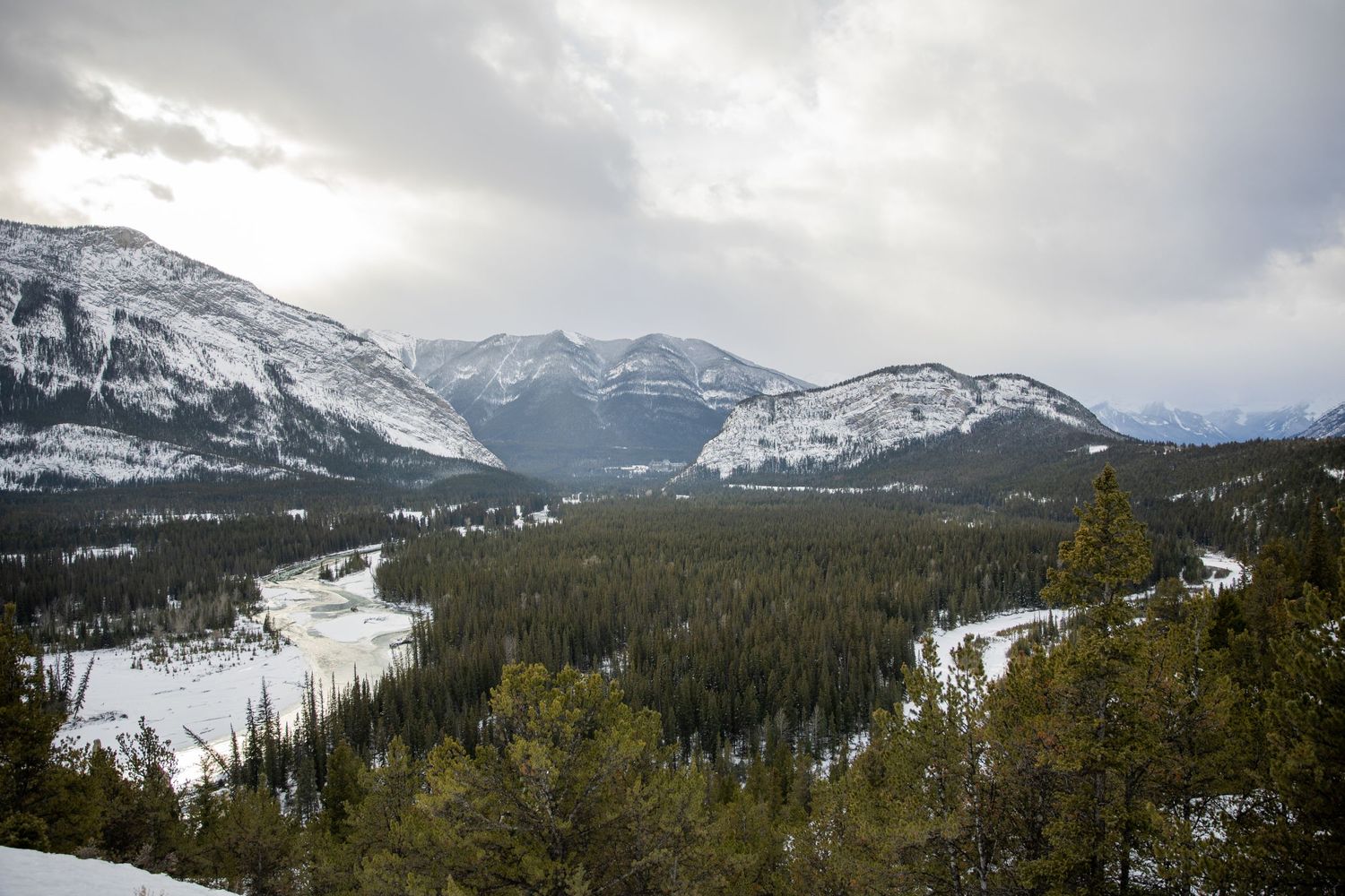
A Trip North
Photos from my trip, driving from Boston, USA to Saskatchewan, Canada, and eventually into the Canadian rockies. We take the Trans-Canada Highway from Montreal to Saskatoon. Our nightly stops: Ottawa, Sault Ste. Marie, Thunder Bay, Winnipeg, then our final destination Saskatoon.
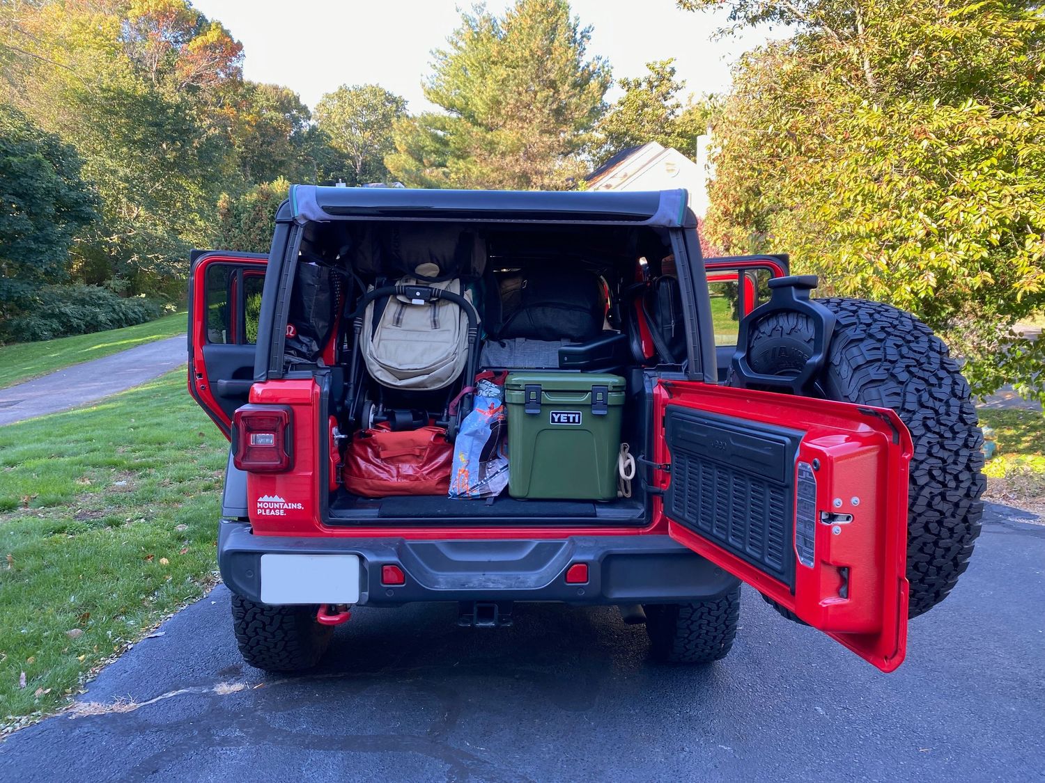
Car is Packed
Traveling with a 6-month old dramatically increases what you pack for a winter trip to Canada. There's also an avalanche shovel in there somewhere.
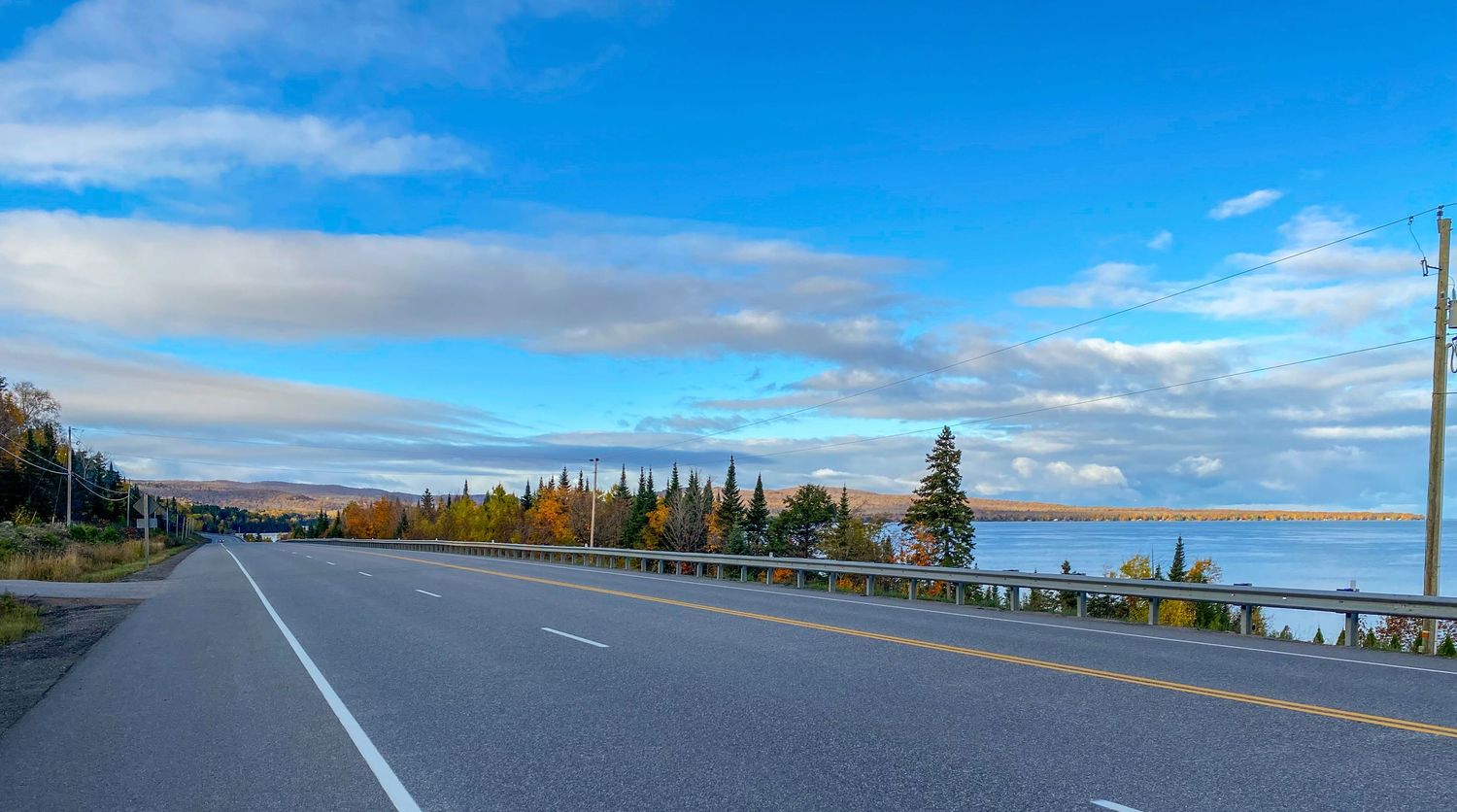
Autumn Above the Lake
North of Lake Superior, we still see some autumn plumage in late October.
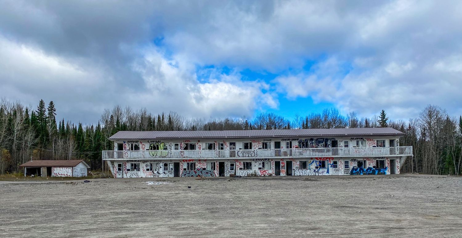
Abandonment
There are a number of sights along the Trans-Canada Highway, like this one. Hotels, resorts, motels, restaurants, gift shops, and gas stations, that once were in business but now remain abandoned.
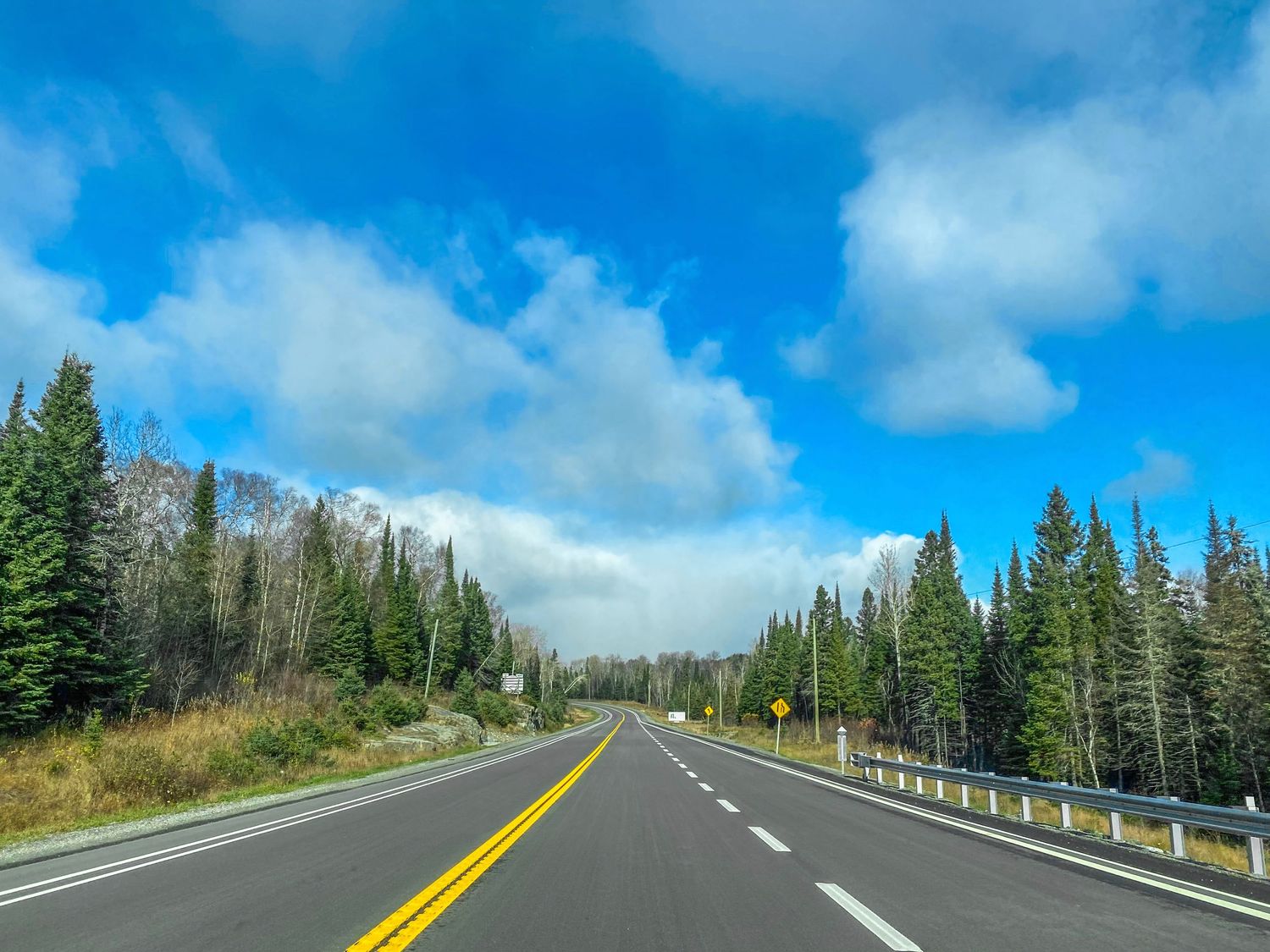
The Canadian Taiga
Also known as "Boreal Forest", seas of dark green pine trees that stretch for hundreds of miles, peppered with either wetlands or rocky outcrops.
The Trans-Canada Highway
A.k.a Highway 1. This is the highway that connects Canada coast-to-coast. Confusingly, it often splits to provide service to cities that are located both in the North and the South. You can see a helpful map here. We first get on it from Montreal. Past Ottawa, highway traffic starts to become incredibly sparse. Once I'm past Sault Ste. Marie, I could stand on the side of the highway for 5 minutes without a vehicle in view (except my own). And the silence is spectacular. I could hear trucks from what must have been kilometers down the highway. For someone who spent his whole life in urban centers, this is a novel experience. Rest stops are spaced out a hundred kilometers or more, making gas fill-ups critical. Food deserts also become a concern. From Sault Ste. Marie to Thunder Bay I have no options for food except junk food like chips and candy bars.
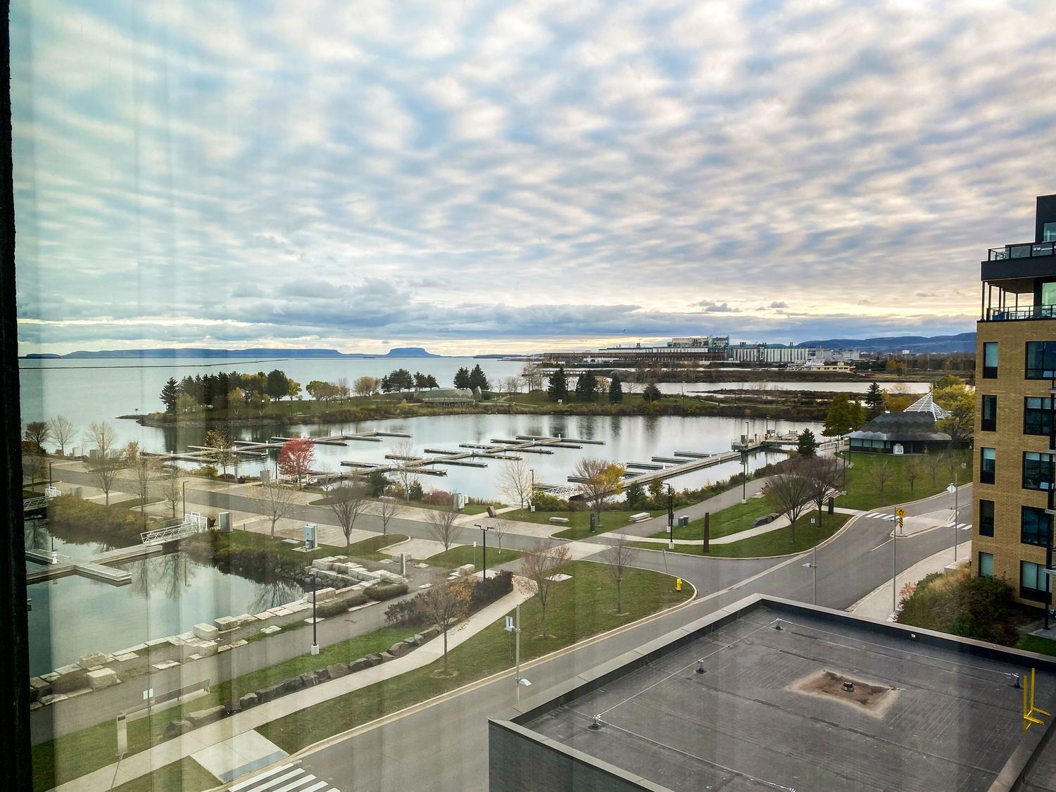
Thunder Bay, Ontario
From the hotel window, looking over Lake Superior. Our stays in the cities were short. We often arrive at night and leave early morning. Thunder Bay is an exception as we get there earlier than expected. Even so, my photo opportunity is limited to the hotel room.
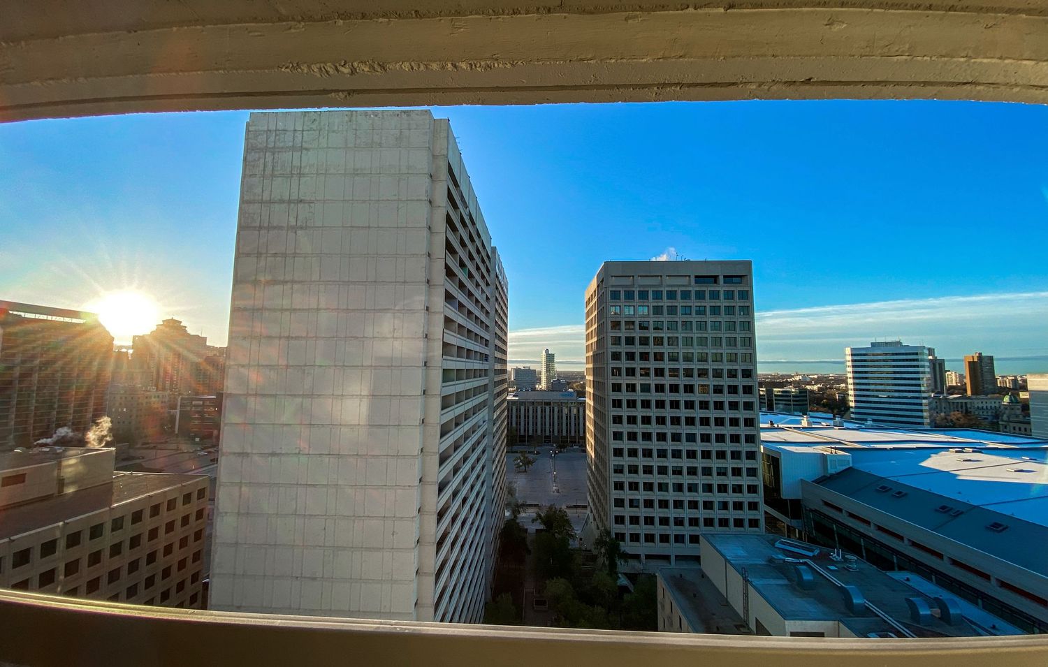
Winnipeg, Manitoba
The scenery begins to get very flat after leaving Ontario. Coming from Boston, I would expect signs of elevation change even from surrounding buildings. But looking over Winnipeg, everything looks like it was built on a flat sheet.
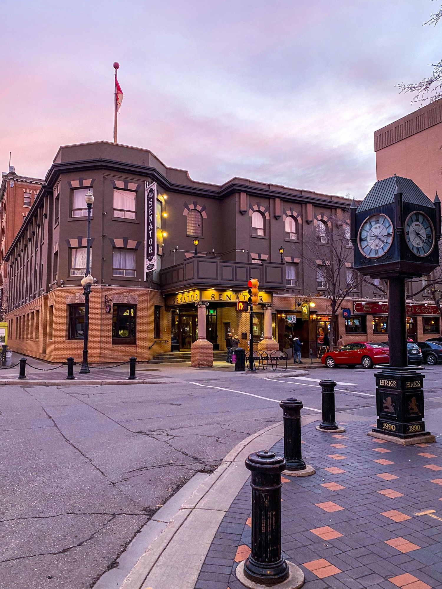
52.139722, -106.686111
Finally, Saskatoon. It's almost winter, and at 52 North, the Sun remains very low in the sky throughout the day. The light is almost constantly warm, and by December, sunrise will occur at 0830 hours. Good to be back.
Land of the Living Skies
This is what I've heard some residents call it. The sky stretches out between all ends of the horizon, and is often adorned with cloud patterns from which the sun veils in and out of. Auroras also occur here in winter, though I've not had the opportunity to witness one.
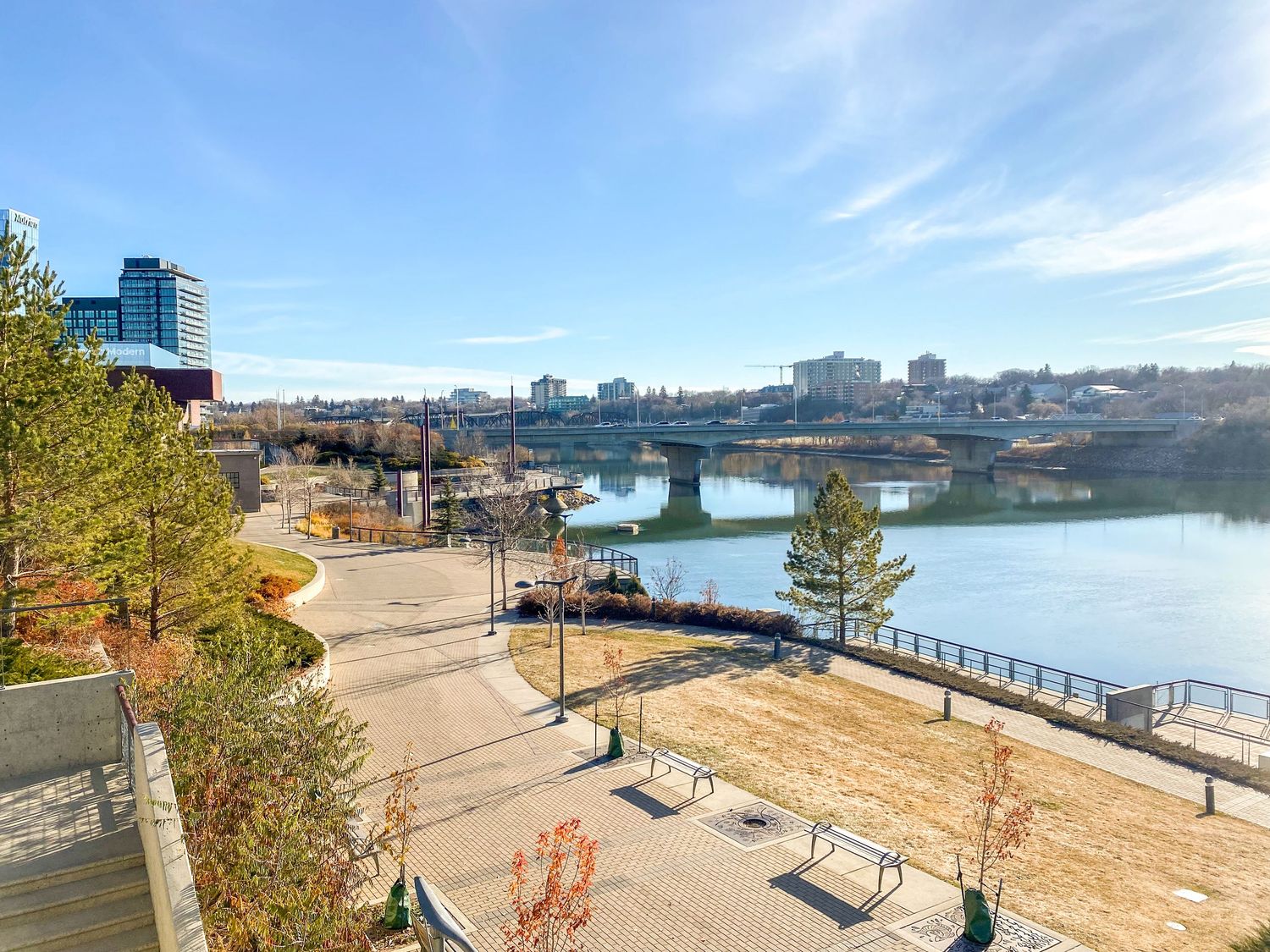
The Riverwalk
Newly developed since my last visit, it runs along the Saskatchewan River. Great place for a morning run.
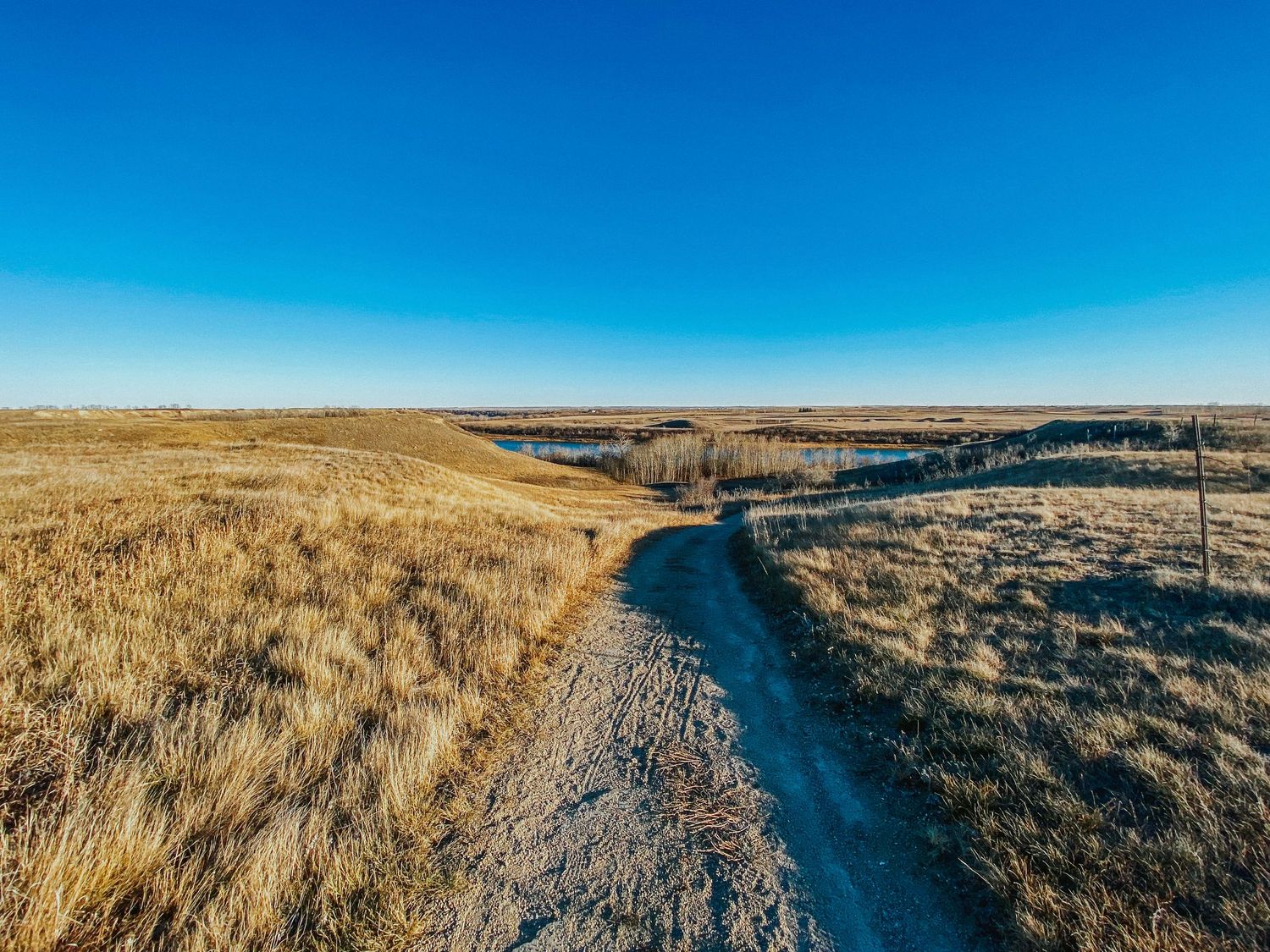
Wanuskewin
There's so much indigenous culture and heritage in Saskatchewan. Wanuskewin Heritage Park showcases a small portion of it. You can learn more about it here on their website.
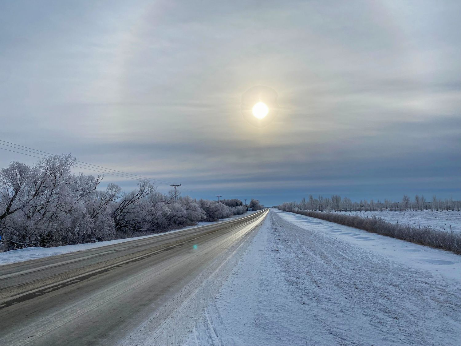
Frosty Branches and Snow Fields
Once snowfall occurs in Saskatchewan, it stays for the whole season. There's no thaw until Spring.
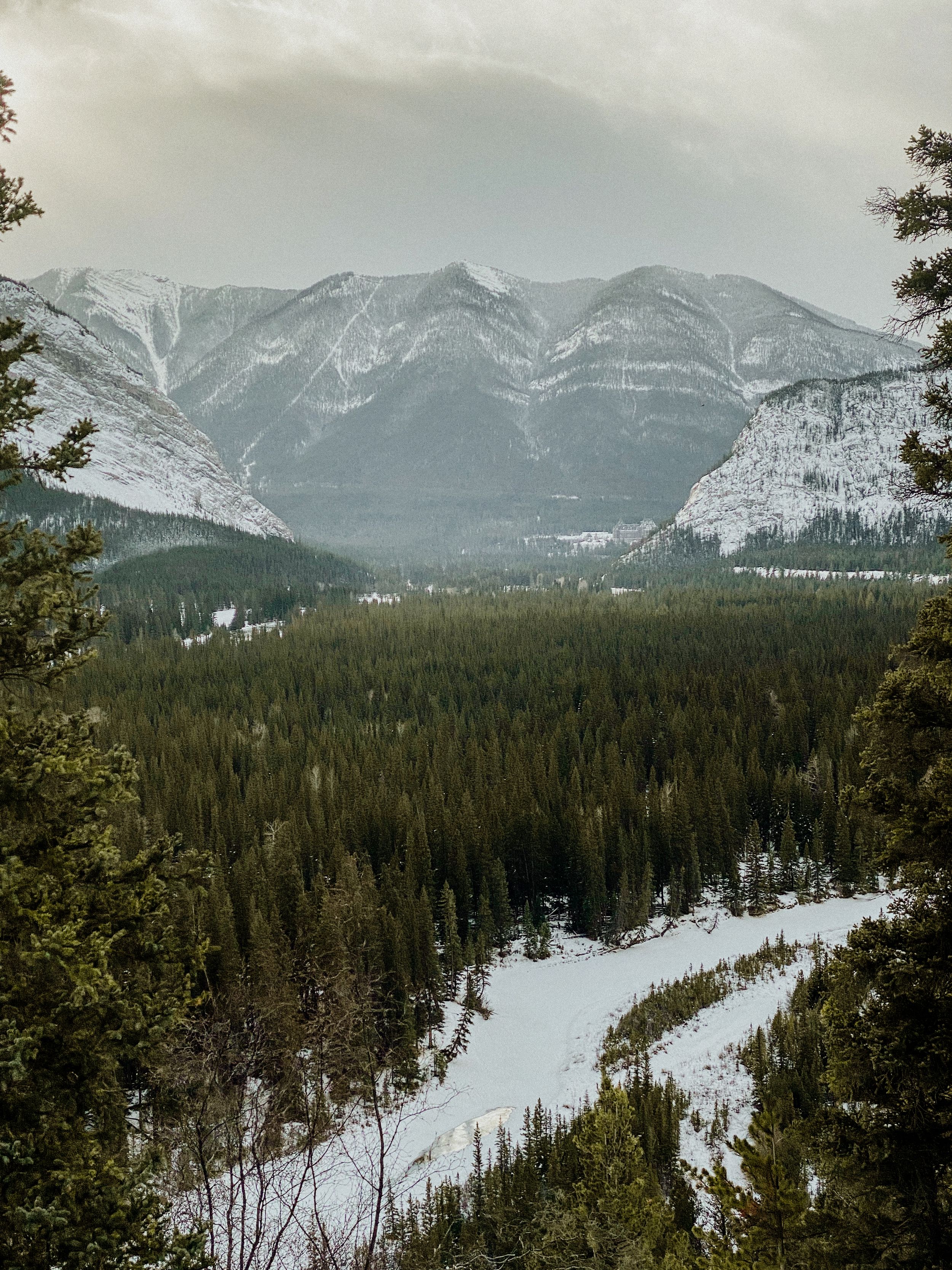
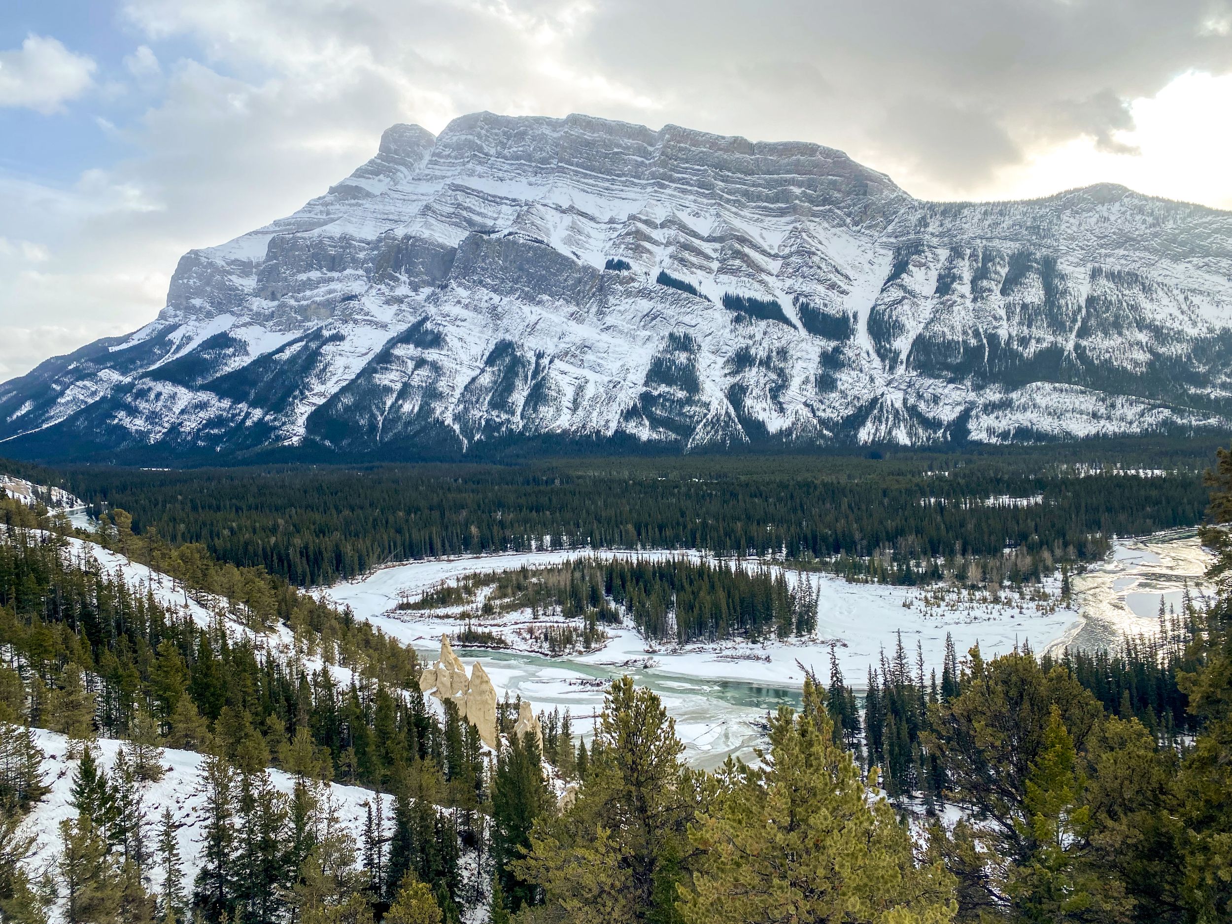
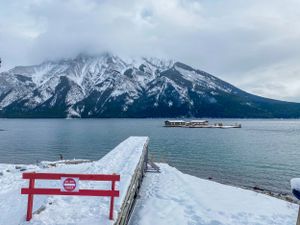
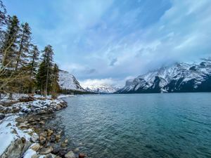
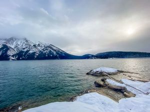
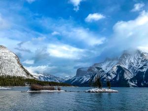
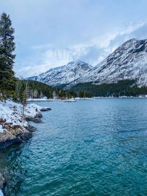
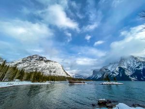
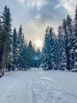
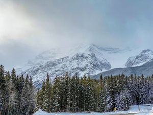
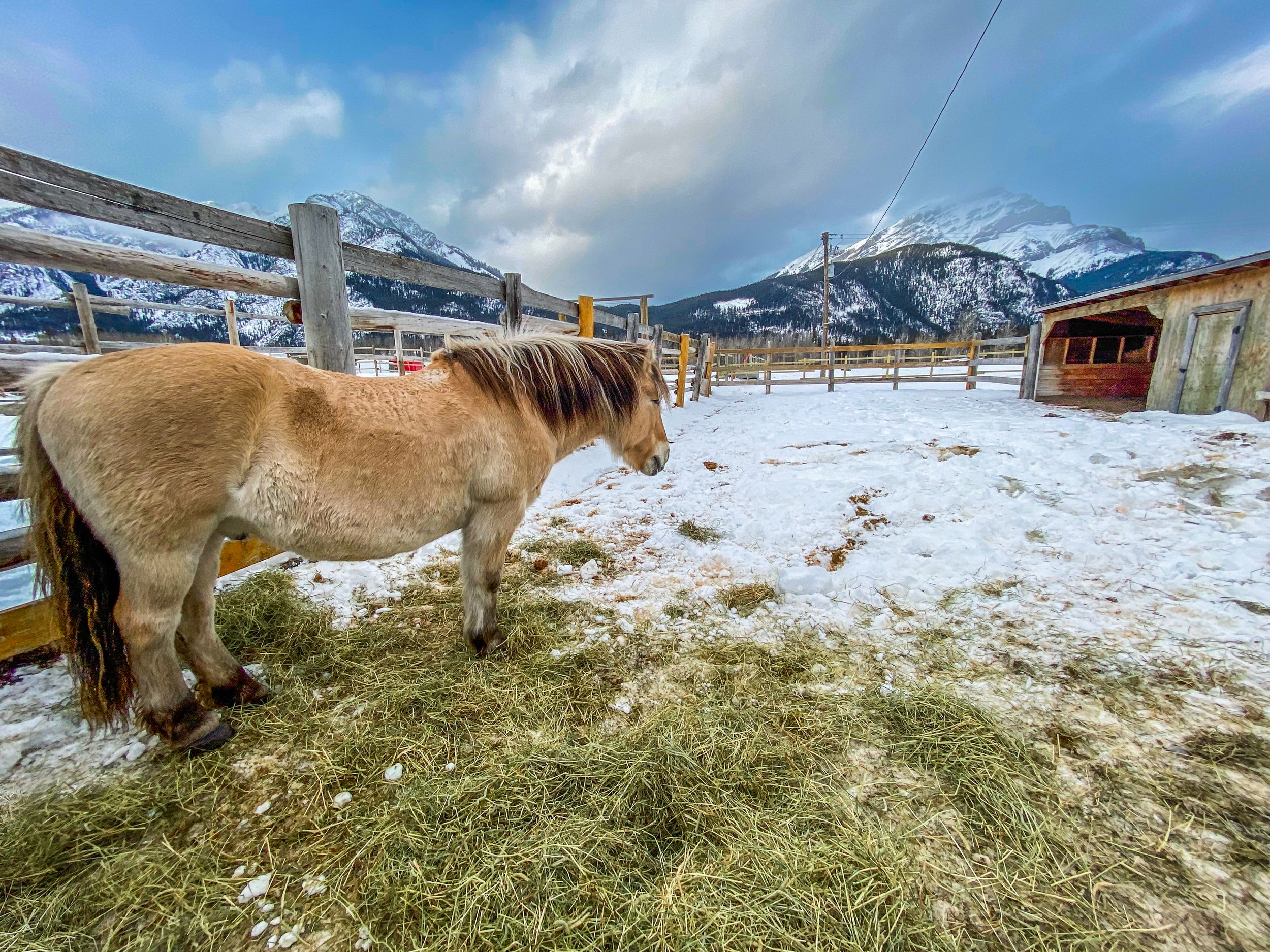
Next Stop, Banff...
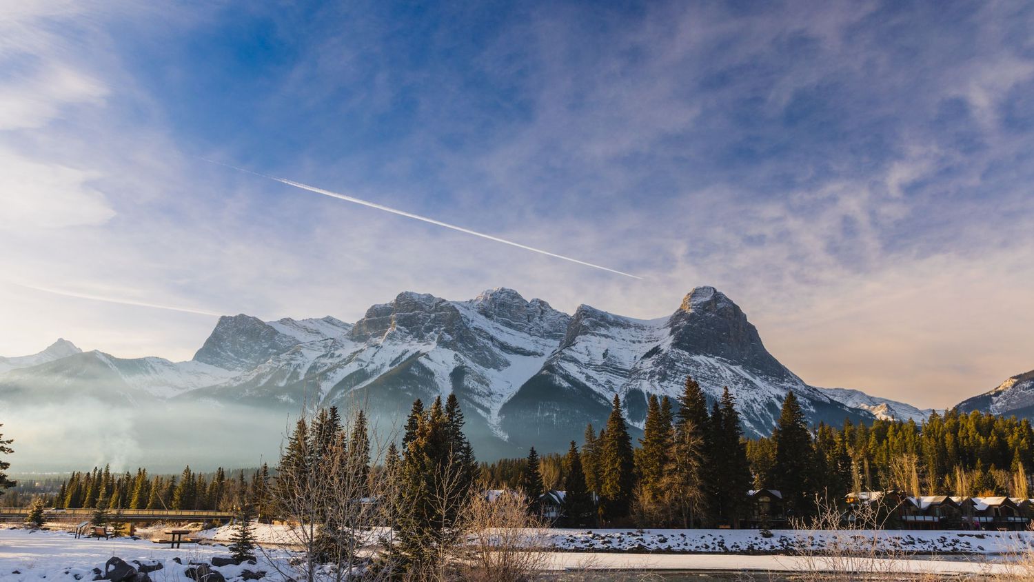
It's my third time here, but I am just as stunned by the scale of these mountains as I was the first time.
The Way Home...
We make our way back to Boston, several weeks later, and we go the same way we came.
A Winter Storm
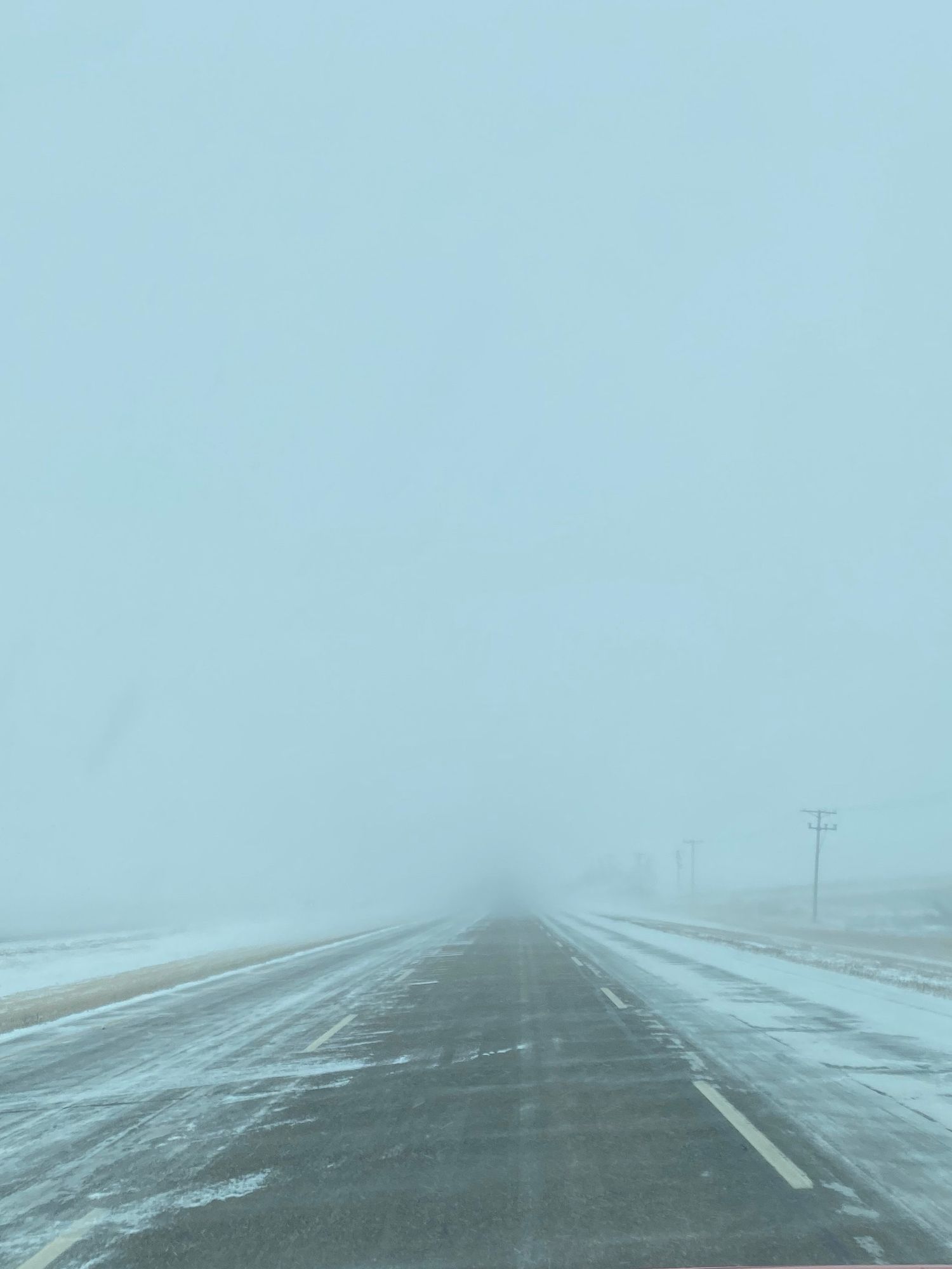
On our first day of driving we face Saskatoon's first winter storm of the season. From what I hear, these are expected much earlier in the season, and this one is late. Visibility is severely limited. The trick is to go only as fast as you can see, which in this case is very slow. Nonetheless it's a beautiful drive. Snow floats across the road like a mist late for work, and it seems to dance around our car and all the other cars and trucks that drive through it.
Thunder Bay, Winter Edition
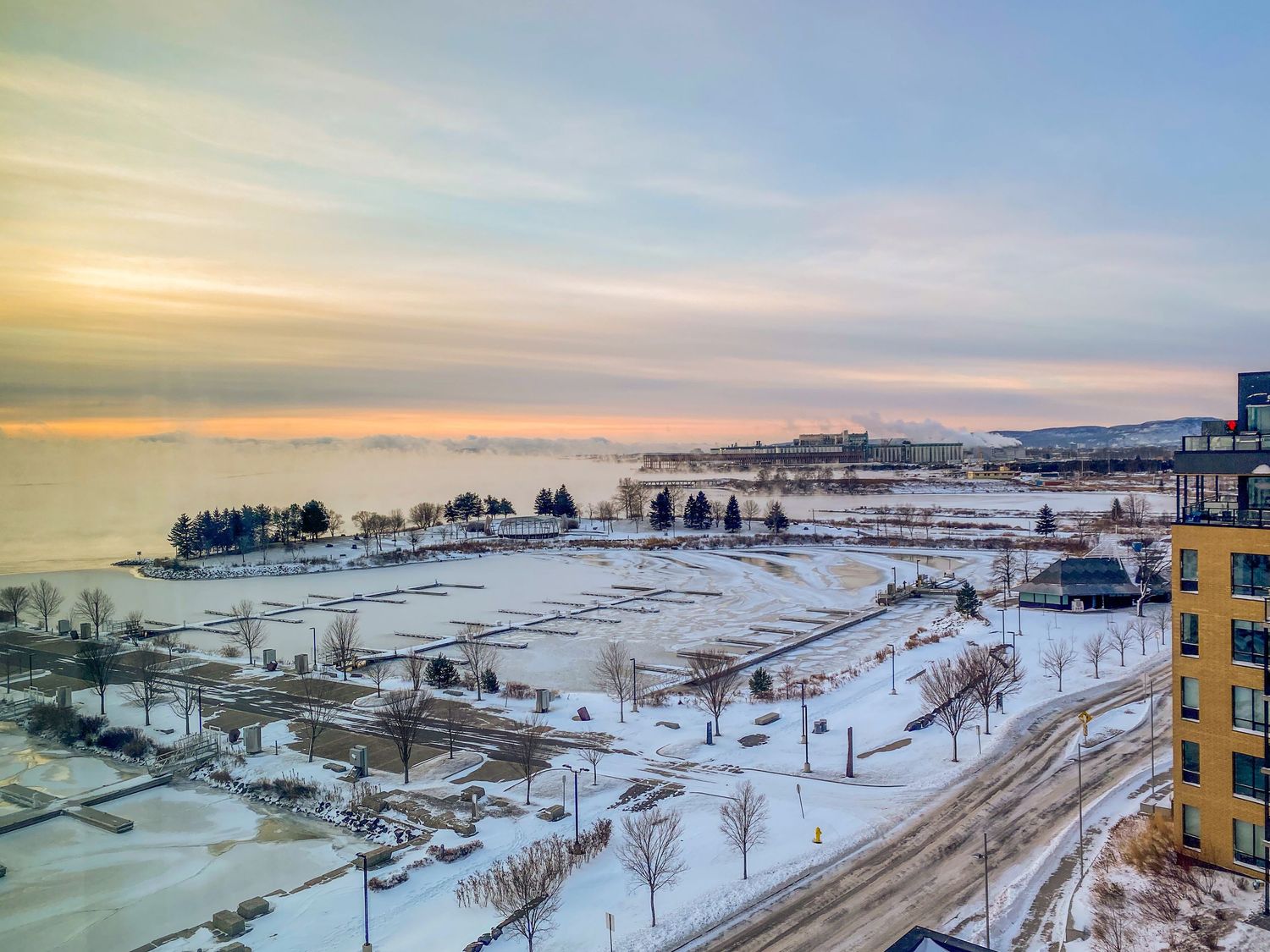
It's about -25 Celcius, the storm has subsided by the time we reach Thunder Bay, but has left its mark. The lakeshore is frozen.
This is the view from the hotel window. I'm squinting because at first it looks like mountains in the distance, or maybe hills. Can it be? Is that a massive billowing of fog on the lake? It's the only explanation I can come up with, yet don't entirely believe, so I rush outside.
Fog Over Lake Superior
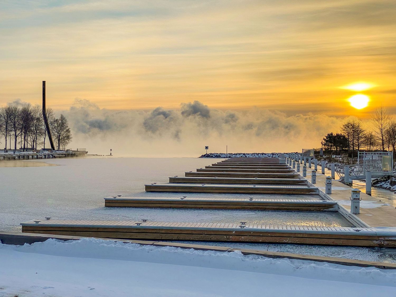
This is the first time I've seen such a phenomenon, but it looked like the sunrise caused a massive fog over the lake in the distance. It looked like the edge of a hurricane except against the earth instead of from the sky.
I also hear an ominous crack as I stand at the pier. It's a kind of sound that triggers a primal version of anxiety in me. Then I hear some more, at random intervals. They're happening a few feet from my feet, under the ice. It takes me a moment before I surmise that the sunrise is causing the ice to shift constantly underneath the surface. This doesn't help my anxiety anyway, so I don't stay long.
Storm, again...
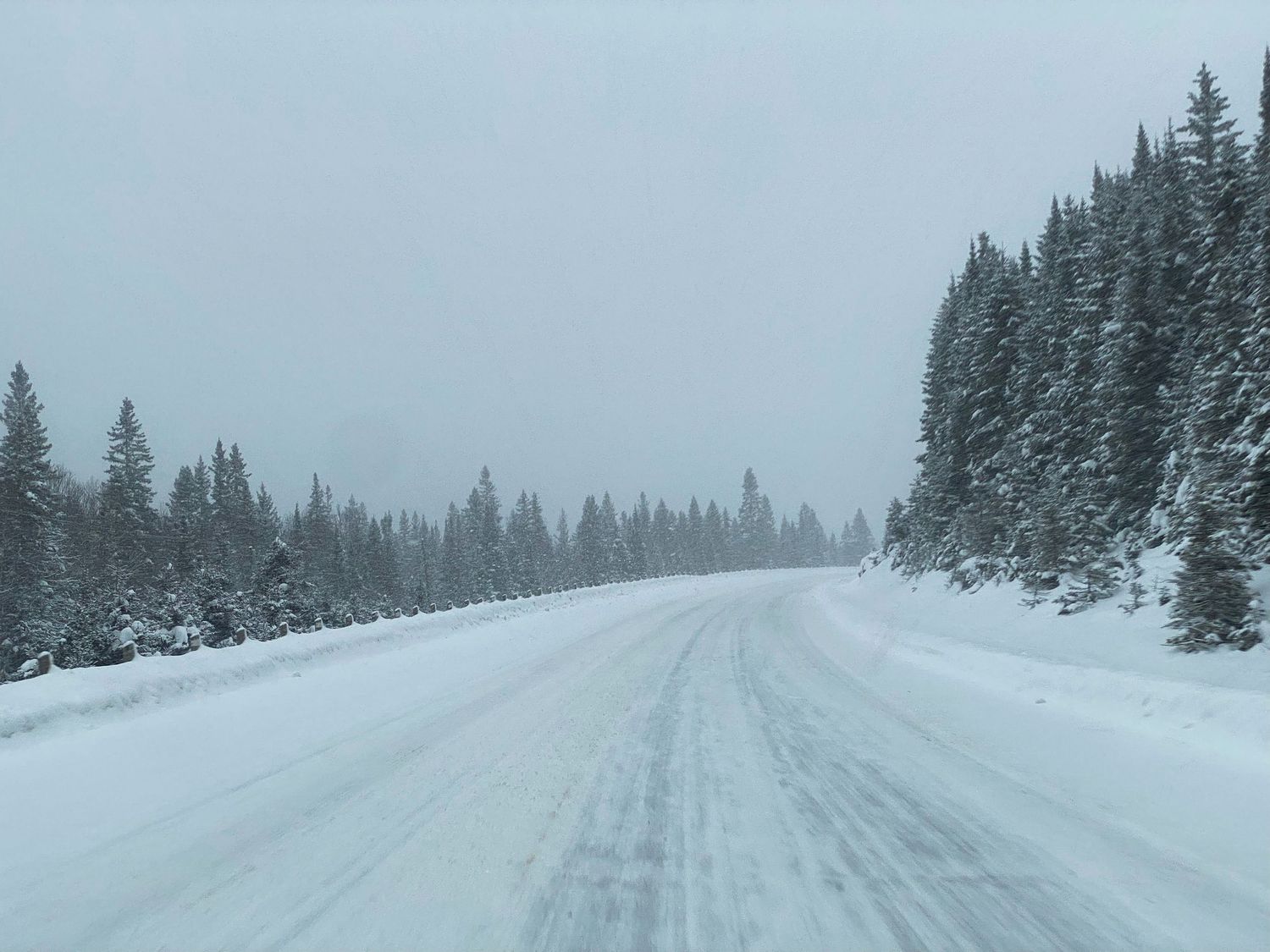
From Thunder Bay to Sault Ste. Marie, we drive through another storm. This time it's not misty snow over the road, but a buildup that is quickly turning into a pack of snow and/or ice. This portion of the drive is more precarious, running alongside cliffs. I was grateful to have fitted my car with studded tires in Saskatoon.
And Finally Home...
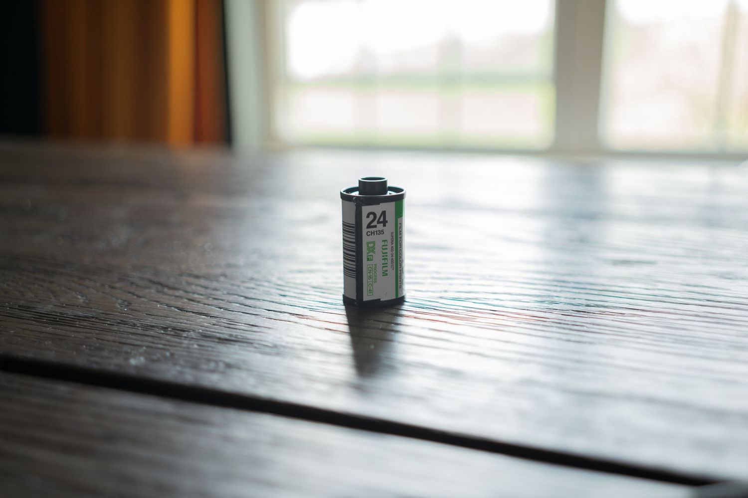
Time to figure out the next thing. It'll be a while until I take another trip North. In the meantime, I have my dad's old film camera lying around, I wonder if that thing still works...